
Nieuw in onze collectie

Over ons
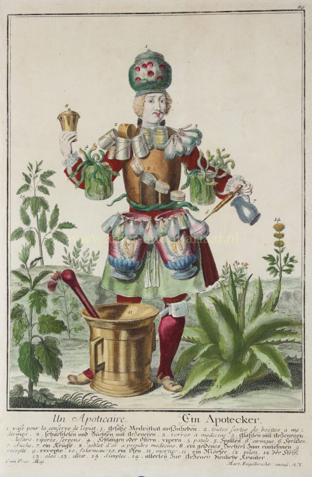
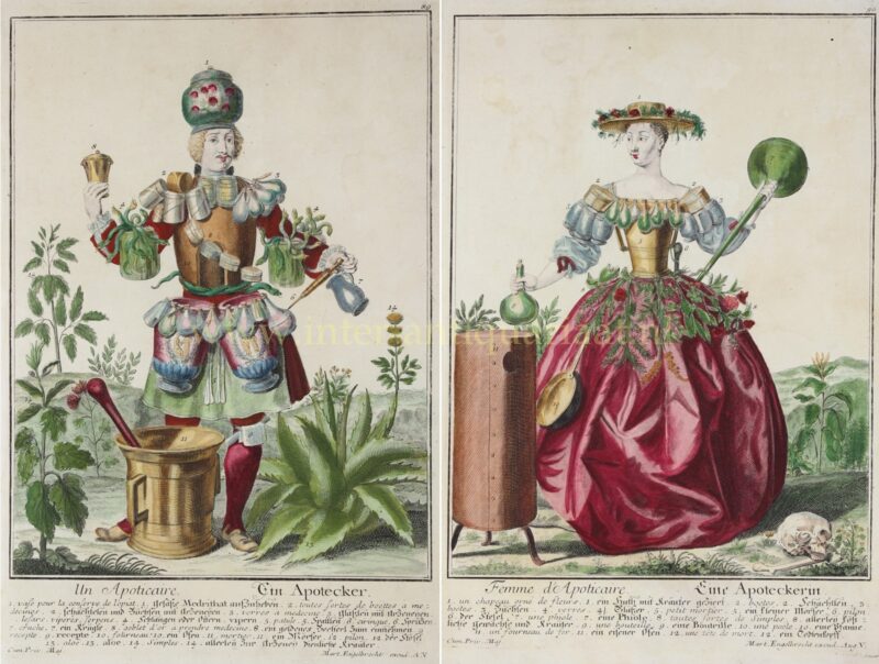
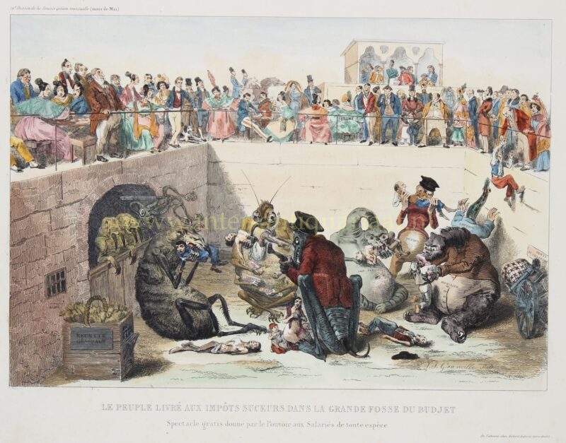
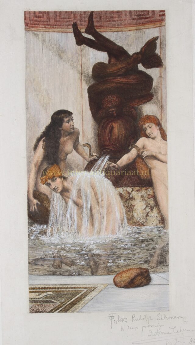
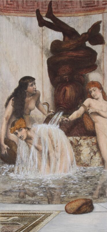
Wij verkopen de mooiste stadsplattegronden, land- en zeekaarten uit de 16 de tot en met de 19de-eeuw. Ook stadsgezichten, getekend en gedrukt tot ca. 1850, vormen een belangrijk onderdeel van de collectie. Wij houden van prenten en tekeningen met een verhaal, veelal een stuk Nederlands cultureel erfgoed. Daarnaast zijn wij sinds een jaar of 10 wereldwijd de grootste handelaar in staal- en heliogravures van Sir Lawrence Alma-Tadema.
Kunst aan het Hof – 20 t/m 24 maart 2024
Inmiddels voor de derde keer, vindt in het voorjaar van 2024 weer Kunst aan het Hof plaats op het Hof van Saksen. Deze kleine, maar zeer exclusieve verkoopexpositie in Nooitgedacht (nabij Assen), opent haar deuren van woensdag 20 t/m zondag 24 maart 2024 met een prachtig deelnemersveld van PAN deelnemers.